
Archaeologists will carry out a non-invasive survey of the Castros of Barroso, a project that also includes animated virtual reconstructions and aims to help understand the history and origins of the World Agricultural Heritage that encompasses Boticas and Montalegre.
Archaeologist João Fonte told the Lusa news agency today that fieldwork is expected to start between late April and early May, and that the goal is to map the castros, which are estimated to number between 50 and 60 in this northern area of the Vila Real district.
The project “Activate – Local Communities and the Origins of the Barroso Agricultural Landscape” is led by the company Era Arqueologia, in consortium with the municipalities of Boticas and Montalegre, lasts three years, and is funded by the La Caixa Foundation.
In the field, the work will use Lidar technology, which performs an aerial scan (via a sensor mounted on an aircraft) and a non-invasive mapping of the sites (without excavation), virtually removing vegetation.
A ground-penetrating radar will also be used, allowing researchers to “see what is buried”.
Based on this information, João Fonte said, an “animated virtual reconstruction” of some castros will be made, showing “people, houses, walls, with life happening”.
In other words, he highlighted, “what these sites might have looked like over 2,000 years ago”.
The archaeologist emphasized the importance of involving local associations, schools, and the community in the project, particularly older residents who will be invited to share memories and stories passed down through generations about these sites.
At a later stage, archaeological excavations may be conducted.
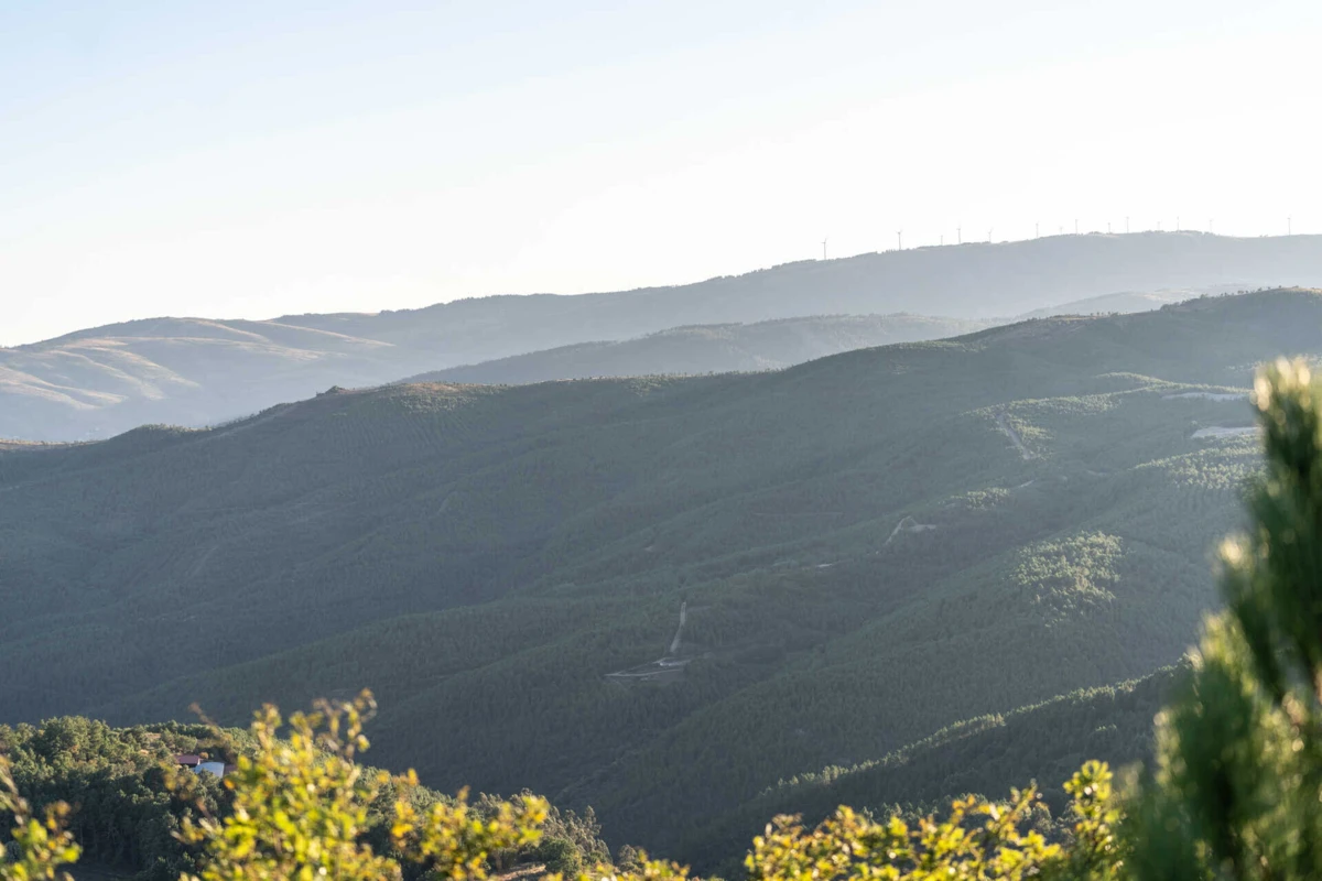
The researchers aim to “discover the origins of the Barroso World Agricultural Heritage,” and according to the archaeologist, “the castros are effectively the first type of permanent settlement that systematically occupied mountain and valley territories”.
“It is not by chance that many castros still coincide with traditional villages in Barroso. It is very important to study these origins based on the castros, but then also understand how everything began to change when the first Roman soldiers arrived in this area,” he said.
Today, João Fonte is going to Vilar de Perdizes, in Montalegre, to talk about the Roman military camp at Alto de Espinho, which was confirmed as such following an archaeological intervention in September, supported by the municipal council, parish, and the local Heritage Defense Association.
This is the second Roman military camp identified in the municipality, after the one at Alto da Raia, in Tourém.
In Vilar de Perdizes, the site was initially documented using Lidar technology.
The researcher mentioned that, in these locations, material remains (such as pottery or metals) after more than 2,000 years “are very scarce because these were temporary occupation sites”.
There, it was possible to document a V-shaped ditch carved into rock and an earthen rampart built toward the interior.
On the inner side of this rampart, a supporting wall was found, and beneath the collapse of that wall, a small combustion structure was documented, from which charcoal was recovered and radiocarbon dating showed it had been burned in the late 1st century BCE.
At a time when data from the national Lidar coverage, carried out by the Directorate-General for Territory (DGT), are starting to become available, João Fonte highlighted some new discoveries in Barroso, such as previously unknown castros, Roman mines, and also spoke about Roman road XVII, which connected present-day Braga to Astorga (Spain), passing through Montalegre.
It is also with the help of Lidar data that the archaeologist proposed a possible location for two ‘mansiones’, a type of support station for travelers along the road, specifically in the areas of Vila da Ponte (Praesidium) and Gralhas (Caladunum).
These sites, as well as the Alto de Espinho camp, are close to the possible route of Via XVII and, according to him, there are “objective data” indicating the “military origin” of this road.